The Christmas business I used to work out of offered a popular service where customers could visit earlier in the year and choose a still-growing tree in our plantations. The first year was messy with all of us struggling to find customer’s trees with crude paper forms and “best guess” locations, so I was asked to investigate using very cheap Android devices to geotag trees and ease the pain.
The idea
People spent so many hours trudging around the same corner of a field in lashing December rain looking for peoples trees to cut ready for delivery/collection. Every tree had a bright coloured physical tag too, but it’s easy to miss in the wilder parts of the plantations.
To try and make everything less painful and since cheap Android devices were easy to come by we wanted to see if an app could do this all with GPS.
The app
I started building this prototype in January 2014, and this came together over maybe a week or two in Java using the Android SDK.
I also bought a very cheap Android device to test with – a Huawei Ascend Y300 at about £50.
Unfortunately the Google Maps used in this old APK no longer works so no maps display in the screenshots below.


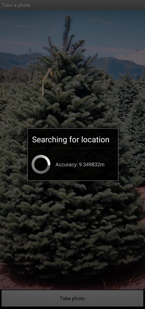
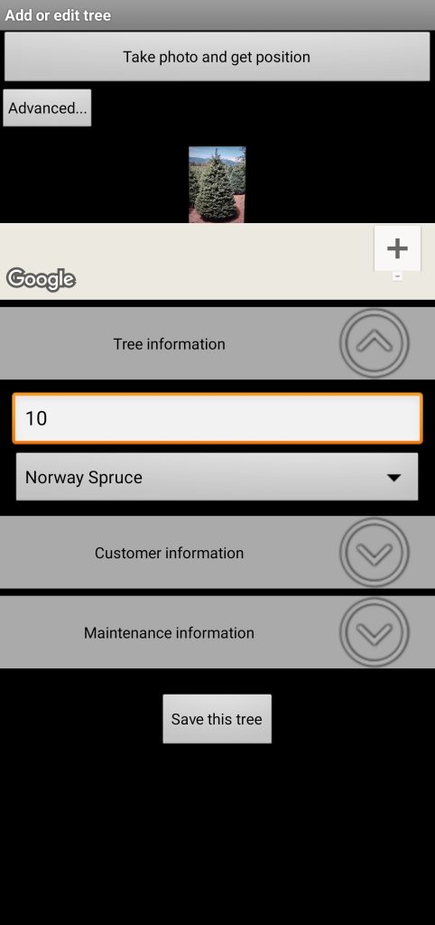
The screen to add/edit a tree includes a button to acquire a photo and GPS position in one – as well as buttons to set them seperately under the “Advanced” toggle.


With the photo and location done we can add other information. All the data is optional except the tree number.


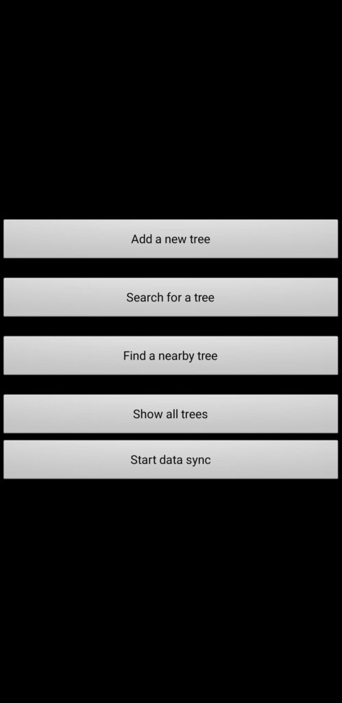
The other functions work as expected but are quite basic. The “nearby trees” might be the most interesting but is completely useless since maps do not display.


The app uses an SQLite database to store data on the local device with a synchronisation mechanism talking to some php scripts on the web.
That’s about all I have to show for this project. This app didn’t move forward because the GPS accuracy still proved to be quite broad and we weren’t convinced it would improve the situation.